![]()
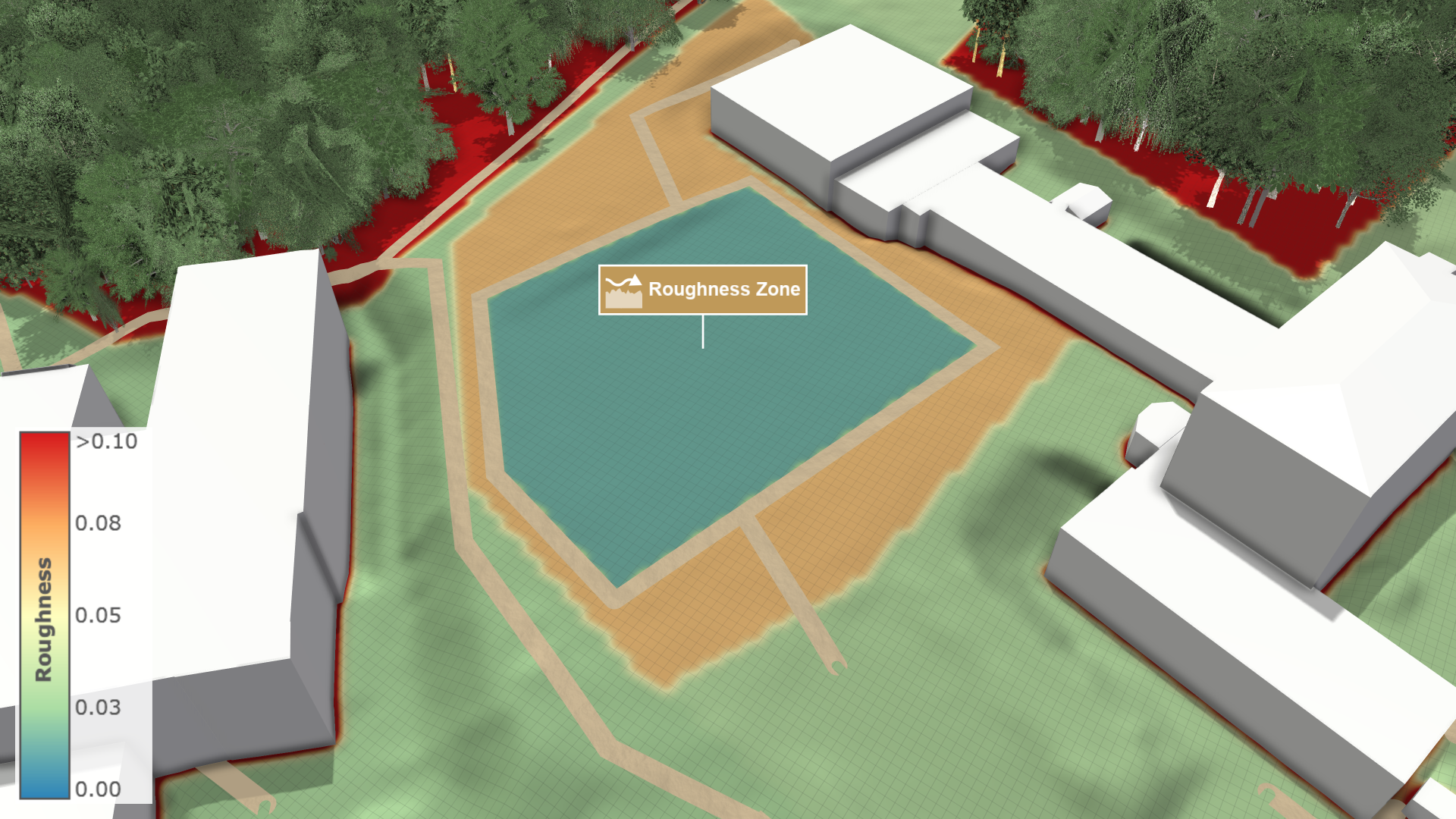
Roughness Zone
Creation Mode: Draw Polygon on Terrain
Purpose and Effect: This action enables users to specify surface roughness within a designated zone, affecting how water flow is simulated across different surfaces. In the Action Settings Panel, the Gauckler–Manning coefficient can be adjusted for each zone, allowing users to locally calibrate river beds and other surfaces. For more details on the roughness model, see Roughness.
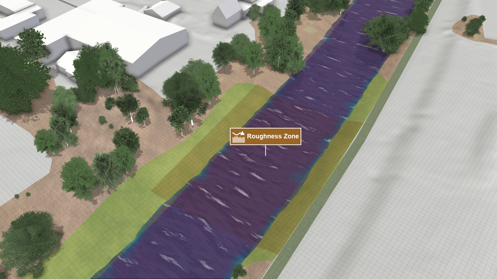
In the Visualization Settings Panel, under the Layers: Visualization category, users can color the terrain based on roughness coefficients. You can visualize Gauckler–Manning coefficients or Strickler coefficients.